
Geo Spatial Works
What we do
Geo-Spatial Works, we take pride in practicing a high code of conduct
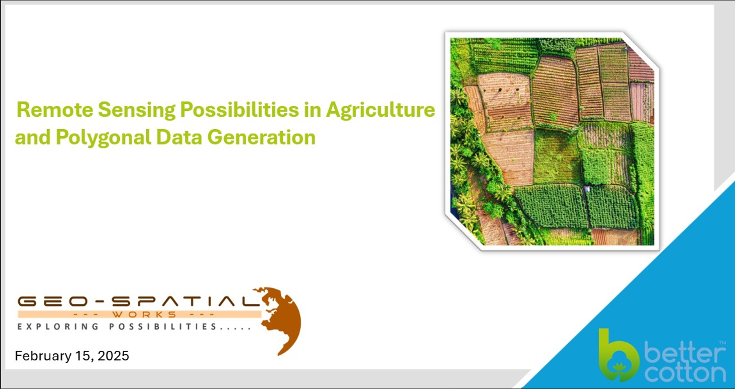
Introduction
Geospatial Works is a premier provider of geospatial data services since 2019, delivering innovative solutions that enable clients across industries to make well-informed, data-driven decisions. By combining advanced Geographic Information Systems (GIS), remote sensing, and spatial analytics, we provide accurate and actionable insights that transform complex data into understandable, useful information.
Our expertise spans various fields—from environmental monitoring and urban planning to infrastructure management and agriculture. Through advanced geospatial technologies, we aim to support organizations in enhancing efficiency, sustainability, and resilience in their operations.
Geo-Spatial Works is distinguished from other companies/ firms in the market in a way that is not only based on providing services but also focuses on research works as well. The young team of professionals from various diversified fields provides a solid platform to deliver our clients the best output not in the way they expect but more than that.
Vision
To meet global standards and provide innovations for premium values in geospatial/ agricultural services and maintain the quality output and consistent recognition
Mission
To make a distinction in market by providing highly competitive solutions in various fields including Geographical Information System (GIS), Remote Sensing (RS), Web-GIS Development, Application Development, Information Technology (IT), Hydrology, Geology, Environment, Architecture and related disciplines. We also focus on providing research-based solutions to ensure authenticity of our work.
Core Values
Geospatial Works is committed to advancing the way organizations understand and utilize spatial data. Our solutions empower clients to make smarter decisions, improve efficiency, and achieve sustainable outcomes across a wide array of industries.
Why Choose Us
Geo-Spatial Works, we are experienced in providing GIS/ Remote Sensing services in Pakistan
Firm Objectives
Geo-Spatial Works is distinguished from other companies/ firms in the market in a way that it is not only based on providing services but also focuses on research works as well. The young team of professionals from various diversified fields provide a solid platform to deliver our clients best output not in a way they expect but more than that.
Objective is to make a distinction in market by providing highly competitive solutions in various fields including Geographical Information System (GIS), Remote Sensing (RS), Web-GIS Development, Application Development, Information Technology (IT), Hydrology, Geology, Environment, Architecture and related disciplines. We also focus on providing research based solution to ensure authenticity of our work.
Mission Statement
To provide our clients with expert GIS technical and research support, mapping services and applied GIS solutions in various fields of study, offering a real cost-effective and reliable resource to expand their visions in respective fields.
Need more Info
Read more about our company…
Our last work
Duis aute irure dolor in reprehenderit in voluptate velit

Get in touch
Ready to order your project ? Write us…